Bays & Beaches
The bays
Dobra
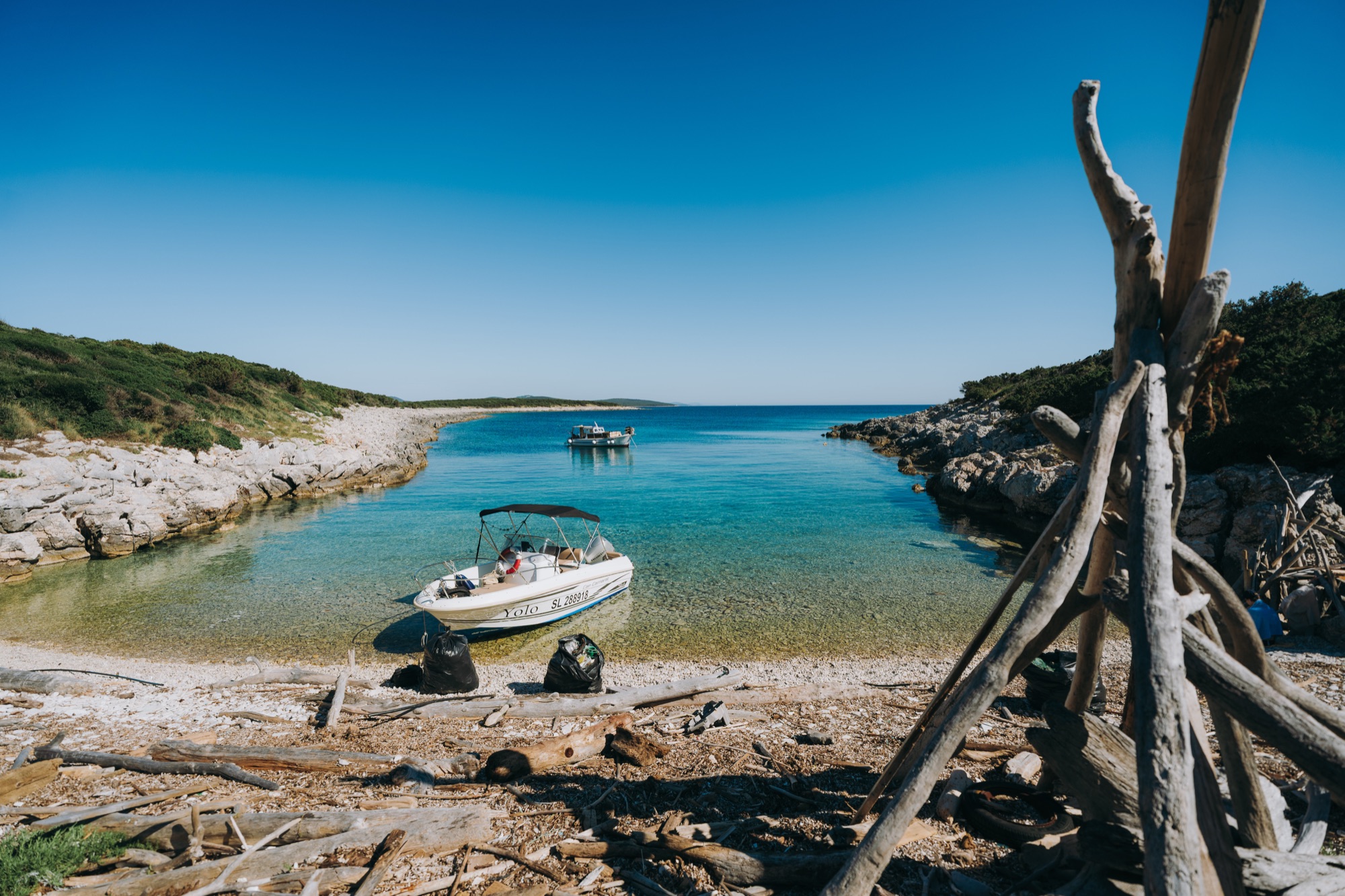
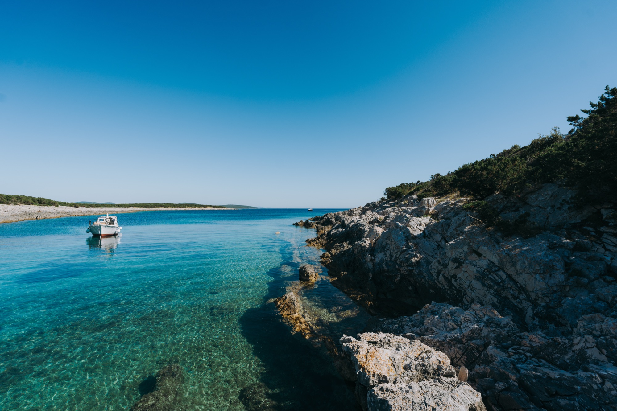
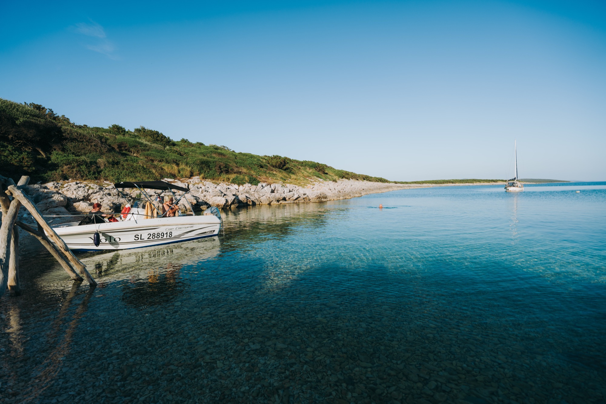
The southernmost bay on the island: wide, quiet and reachable only by boat. Depending on the wind the water lies perfectly flat, and it shelters best from the south. Anchor, swim, drift.
Boat access only
Coordinates
44.307786, 14.658709
Bay upkeep
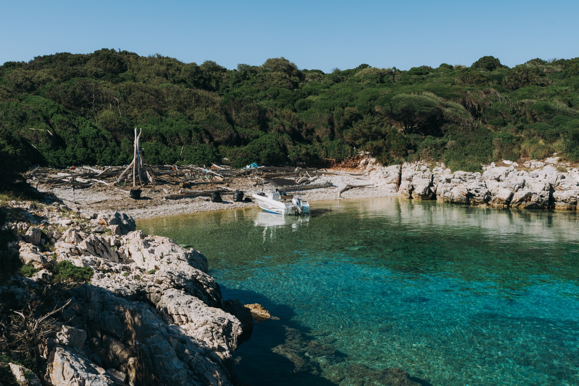
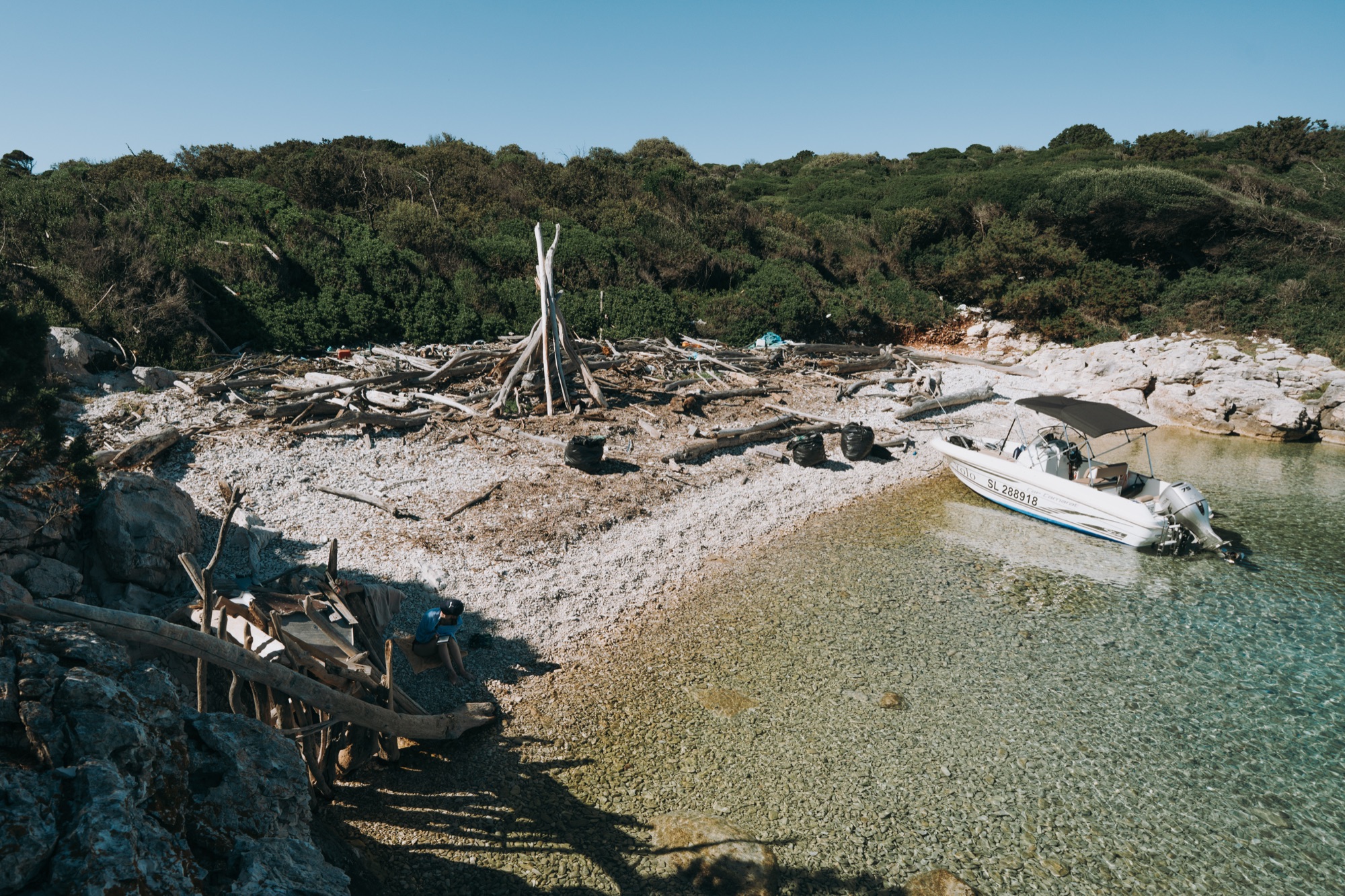
After the winter and spring storms the sea washes debris into the bays. The islanders clean the village beaches regularly. The remote coves are looked after almost entirely by volunteer boaters, and sometimes by school classes staying at the house who take a cleanup on as a project. Take a rubbish bag along on your boat trip; it helps.
Gallery
Sea1920 × 700
Plan your stay
When would you like to come?
Send us your dates and how many you are. We reply by email with availability and a price.
Send enquiry