Katedrala — the Cathedral
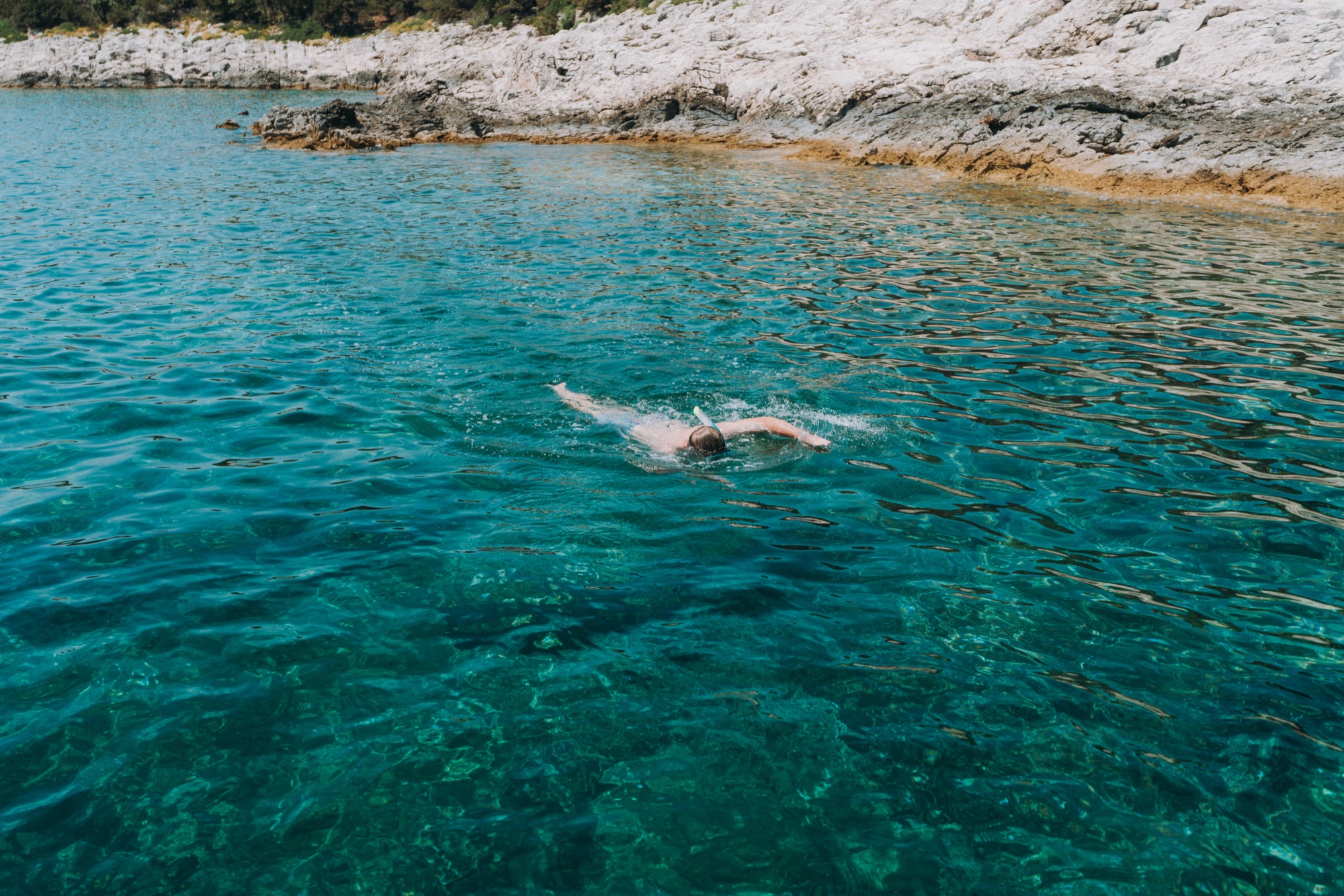
Premuda's signature dive: a bubble-shaped chamber whose ceiling is split by cracks, so the light comes down in shafts. The entrances lie between roughly 11 and 30 metres, and conditions are best from May to September.
Sights
An island you can cross in an afternoon, with a dive cave beneath it, two churches, the leftovers of a military past and a coast of quiet coves. Everything worth finding, gathered on one map.
Every sight with a confirmed position. Open a pin for the photo and the short version.
The island at a glance
Load the map?
The map is served by Mapbox, which receives your IP address the moment it loads. Nothing else on this page talks to them.
Under water and offshore
Premuda's signature dive: a bubble-shaped chamber whose ceiling is split by cracks, so the light comes down in shafts. The entrances lie between roughly 11 and 30 metres, and conditions are best from May to September.
Not a scatter of islets but one natural breakwater, and the reason anyone could settle here at all: it has taken the storms for centuries. Reachable by paddleboard or with fins when the sea is calm. The current builds with the wind, so strong swimmers only.
The Austro-Hungarian dreadnought was torpedoed off Premuda on 10 June 1918 and capsized. It is the only battleship sinking of the war captured on film. It lies at around 68 metres and is a protected monument with restricted access, which is why it carries no marker.
The bays
Name and position for these come from OpenStreetMap. We have not been ashore everywhere. The descriptions follow as we can write them honestly.
Bay
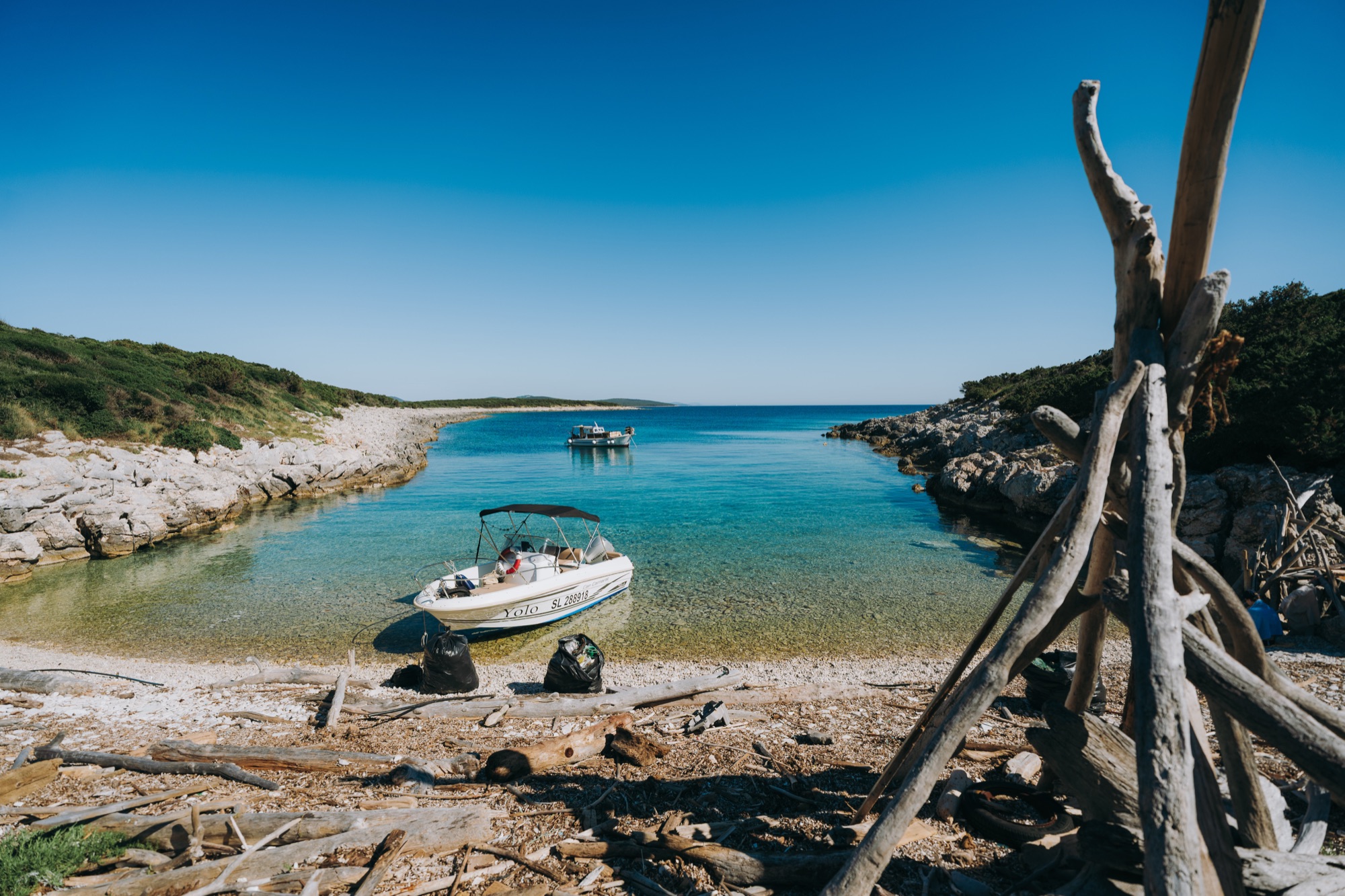
The island's southernmost bay: wide, quiet and reachable only by boat, best sheltered when the wind comes out of the south.
Bay
A remote cove over a bright sandy floor, the best snorkelling on the island, and reachable only by boat.
Bay
A named bay, about 1.3 km east of Krijal harbour.
Bay
A named bay, about 1.7 km north of Krijal harbour.
Bay
A named bay, about 5.5 km south-east of Krijal harbour.
Bay
A named bay, about 1.8 km north of Krijal harbour.
Bay
A named bay, about 4.2 km east of Krijal harbour.
Bay
A named bay, about 3.3 km south-east of Krijal harbour.
Bay
A named bay, about 4.9 km south-east of Krijal harbour.
Bay
A named bay, about 2.2 km south-east of Krijal harbour.
Bay
A named bay, about 2.6 km east of Krijal harbour.
Bay
A named bay, about 6.5 km south-east of Krijal harbour.
Bay
A named bay, about 4.6 km south-east of Krijal harbour.
Bay
A named bay, about 2.9 km south-east of Krijal harbour.
Bay
A named bay, about 3.9 km south-east of Krijal harbour.
Beaches and jetties
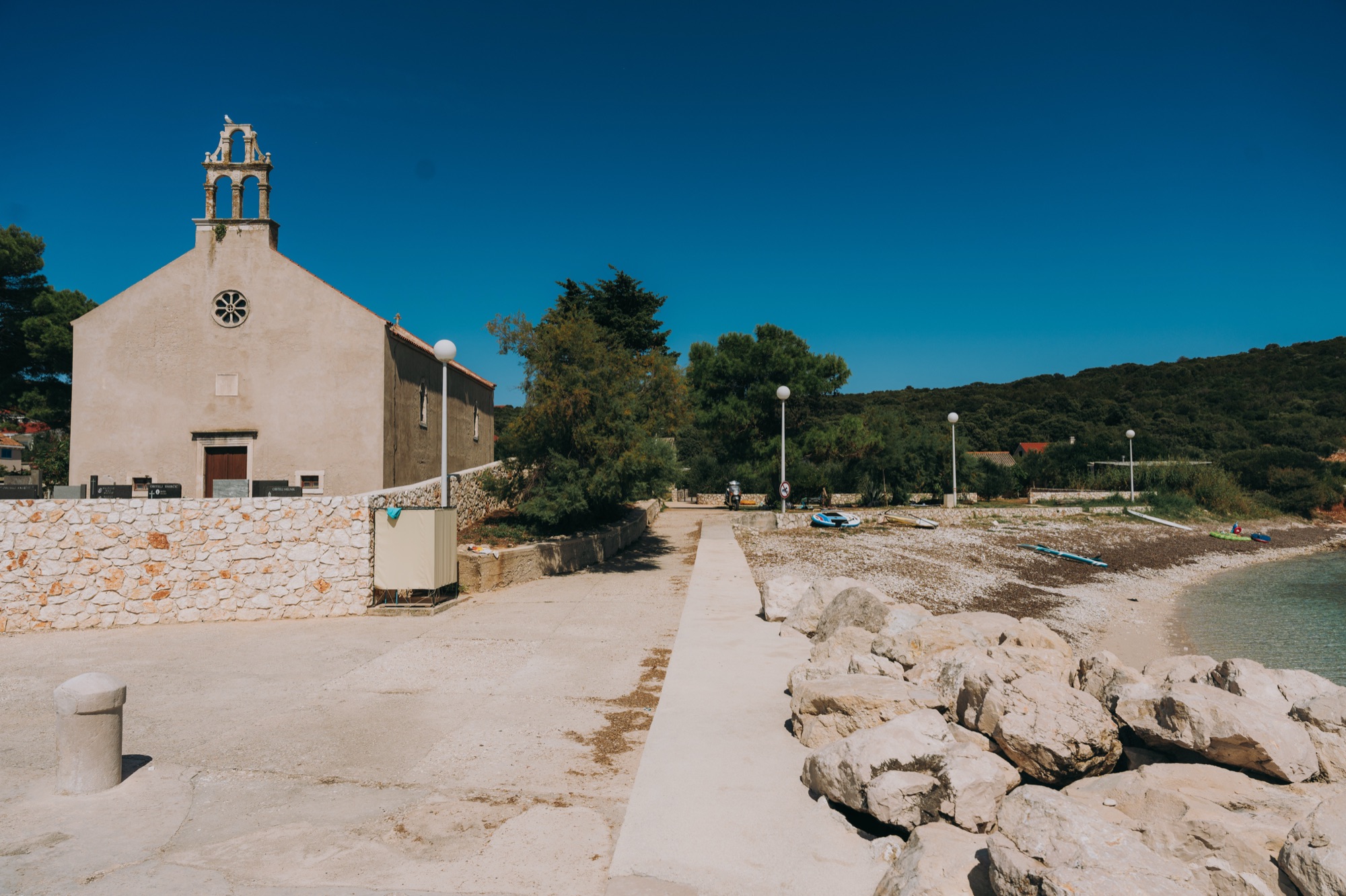
The largest and busiest beach, beside the church at the old harbour, with a roped-off swimming area and the village a few steps away.
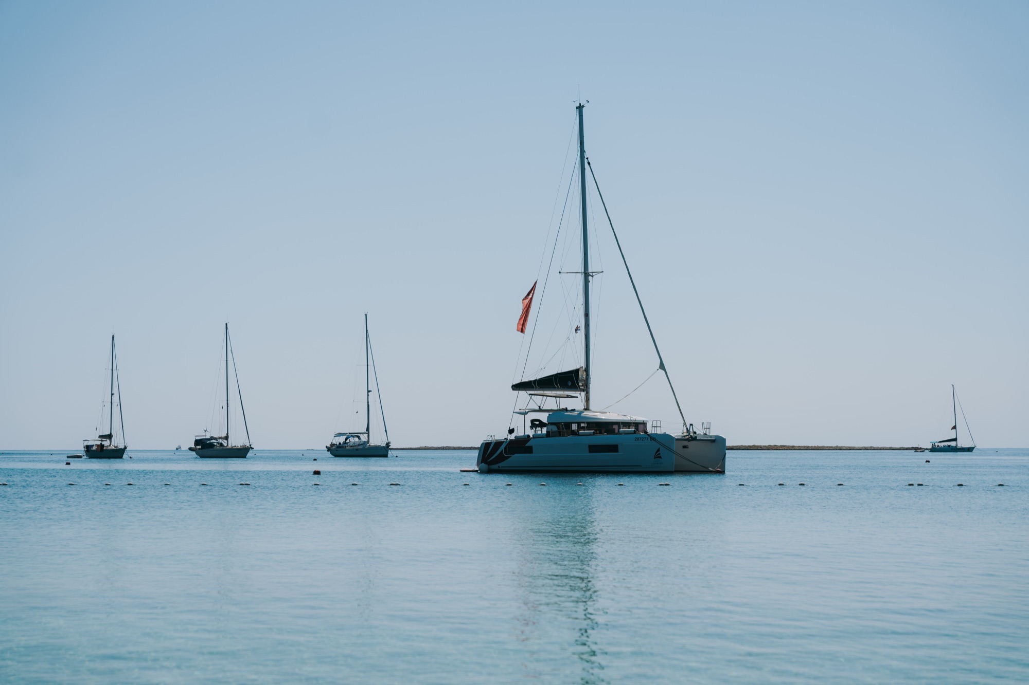
By the Celestina restaurant where the ferries come in: an easy entry into clear water, and the spot the islanders themselves swim from.

A short walk down to Loza bay and its old jetty. A bathing ladder, enough depth to jump straight in, and quieter than the harbour beach in high summer.
Headlands, summits and islets
Name and position for these come from OpenStreetMap. We have not been ashore everywhere. The descriptions follow as we can write them honestly.
Headland
A headland on the island's coast, about 7.2 km south-east of Krijal harbour.
Headland
A headland on the island's coast, about 5.1 km south-east of Krijal harbour.
Headland
A headland on the island's coast, about 2.2 km north of Krijal harbour.
Headland
A headland on the island's coast, about 1.8 km north-west of Krijal harbour.
Summit
One of the island's summits at 33 m, about 3.5 km east of Krijal harbour.
Summit
One of the island's summits at 67 m, about 0.7 km east of Krijal harbour.
Summit
One of the island's summits at 26 m, about 2.7 km south-east of Krijal harbour.
Summit
One of the island's summits at 88.2 m, about 1.6 km east of Krijal harbour.
Islet
A small islet off the coast, about 1.4 km south-east of Krijal harbour.
Islet
A small islet off the coast, about 0.4 km west of Krijal harbour.
Islet
A small islet off the coast, about 2.2 km north-west of Krijal harbour.
Islet
A small islet off the coast, about 3.3 km north-west of Krijal harbour.
Islet
A small islet off the coast, about 0.9 km south-east of Krijal harbour.
History and military
Name and position for these come from OpenStreetMap. We have not been ashore everywhere. The descriptions follow as we can write them honestly.
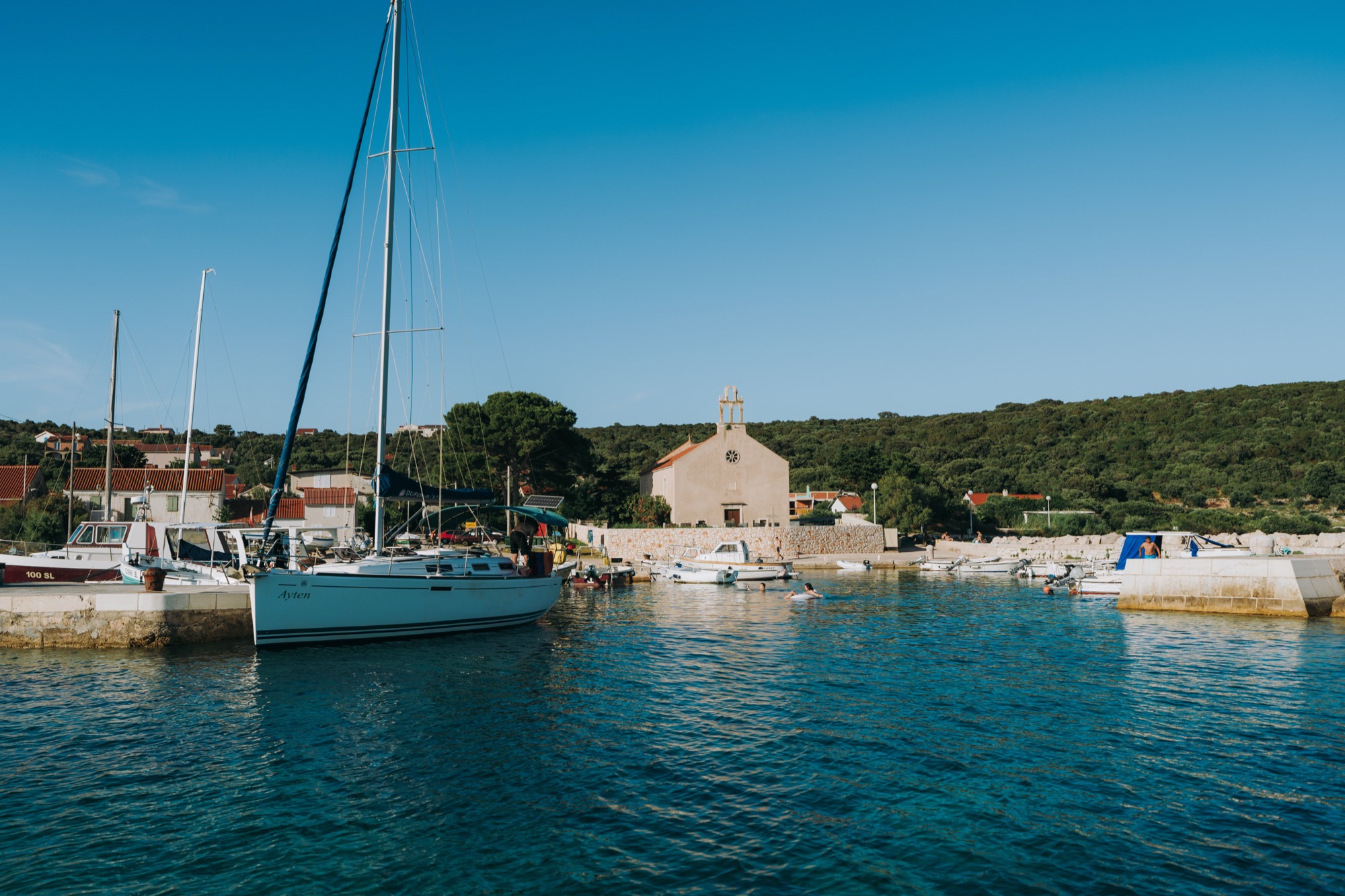
The small harbour church above the main beach, the building you pick out from the water long before you land.
The parish church in the upper village, among the few dozen houses that make up Premuda's only settlement.
Emplacements and barracks north-west of the village, slowly disappearing under the macchia. From the village past the supermarket, then left onto the path into the scrub.
A military radar from the Yugoslav era on the island's high ground, and the widest view on Premuda, best in the early evening. Its position is not mapped here; the walk up is described on the hikes page.
Ruins
Ruins recorded on the map near the islet of Lutrošnjak, about 3.3 km north-west of Krijal harbour.
Village and harbour
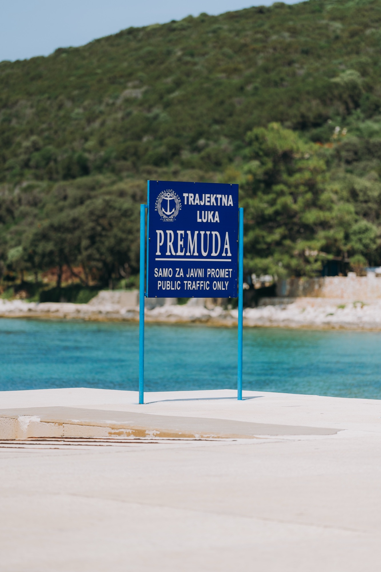
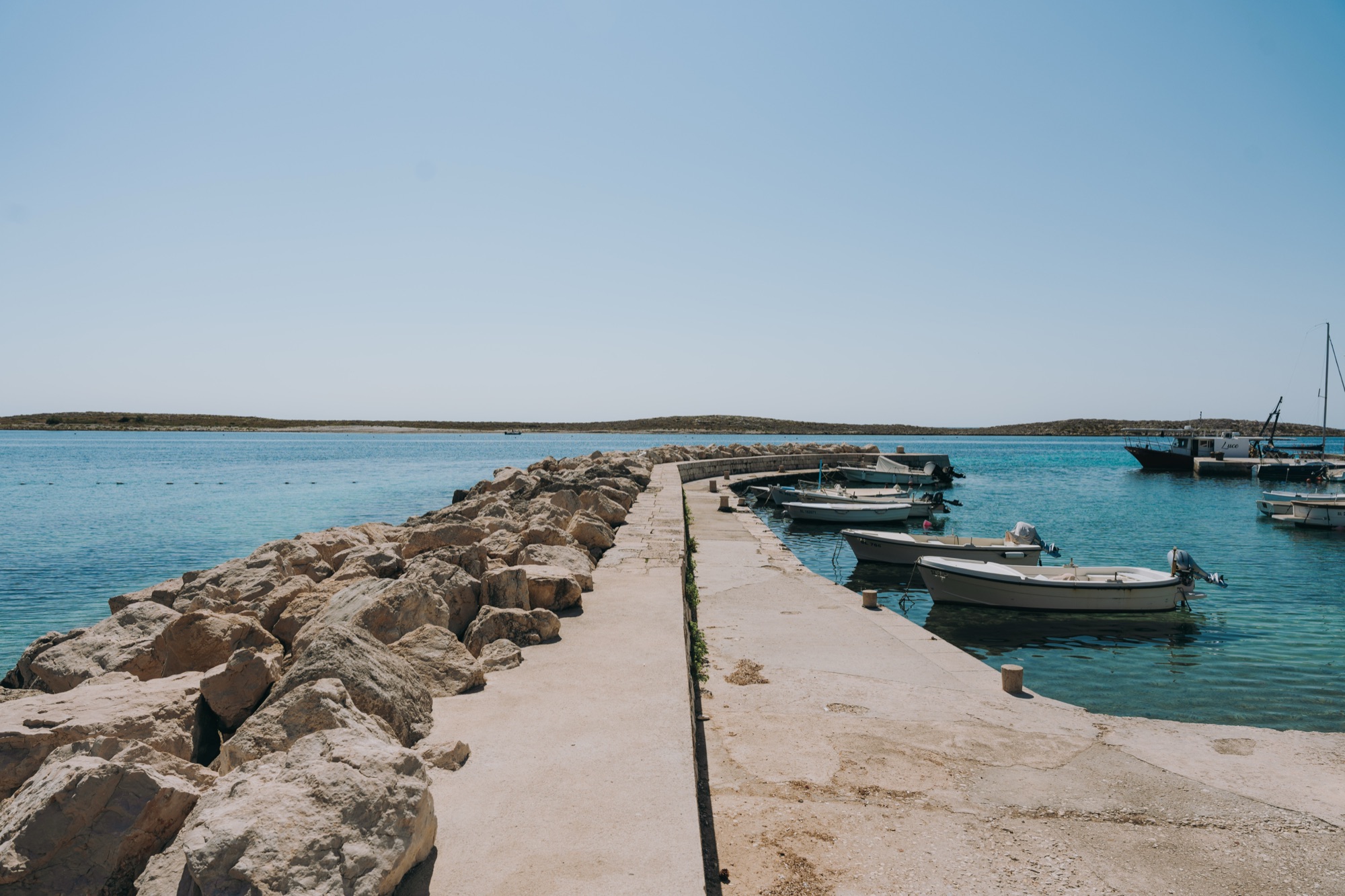
The island's only harbour and its front door: the catamaran from Zadar, the car ferry and every visiting boat arrive here.
Plan your stay
Send us your dates and how many you are. We reply by email with availability and a price.
Send enquiry